Being able to get around independently is a key skill which we all develop as we move through life, especially during our years in education. When you are blind or partially sighted this can be a bit more challenging. But with the right skills, support and technology, getting around independently is a destination you can definitely reach!
If you’re thinking about the next stage of your education, you might be wondering about finding your way to new classes, navigating bigger college/university buildings and getting around independently with friends and socialising during breaks and free time.
Technology can really help with all of these things, that’s why we’ve put together this guide to arm you with our top recommended apps for easy navigation.
We want to empower all of you blind and partially sighted students out there to throw yourselves into every aspect of college/university life, including socialising and getting around independently, so let’s dive in!
Heads up! learn the basics and stay safe
Tech can take you far, but it’s your independence skills that truly open up the world. Make sure you’ve had proper mobility training first—these skills help you stay safe and make the most of everything apps can offer. Your local authority’s sensory support team can help you get started if you’re not there yet.
If you need to learn these important skills, reach out to your local authority’s sensory or visual impairment team and ask specifically for mobility training, Orientation & Mobility (O&M) or habilitation services.
Stay safe
While giving these navigation apps a try, please remember to keep safe, be aware of your surroundings and be mindful of obstacles and potential hazards. At first try them out with friends, family or those supporting you or let someone know where you are going.
Using your smartphone’s camera opens up fantastic opportunities, but it is important to stay safe. If you are walking while holding your phone, you may want to consider making sure your phone is secure and cannot be easily snatched, such as using a lanyard or arm band which attaches your phone to you rather than just holding it in your hand.
If you need to listen to your device while getting around, it is really important to make sure you can still hear what is happening in your surroundings – open-ear headphones can be a good choice for this.
Getting Around with Navigation apps – our top picks
There are many apps out there for navigation and GPS mapping, but we’ve made it super easy by narrowing it down to our top recommendations. Just remember that sat nav is not perfect or 100% reliable, so it may take a bit of experimenting and patience, that’s why making sure your . fundamental navigation and mobility skills are up to scratch is so important.
To help you get started with navigation apps, we’ll walk you through our favourite mainstream picks, then move onto more specialist options designed for blind and partially sighted users. We’ve even found options to help with indoor navigation as well, so keep reading.

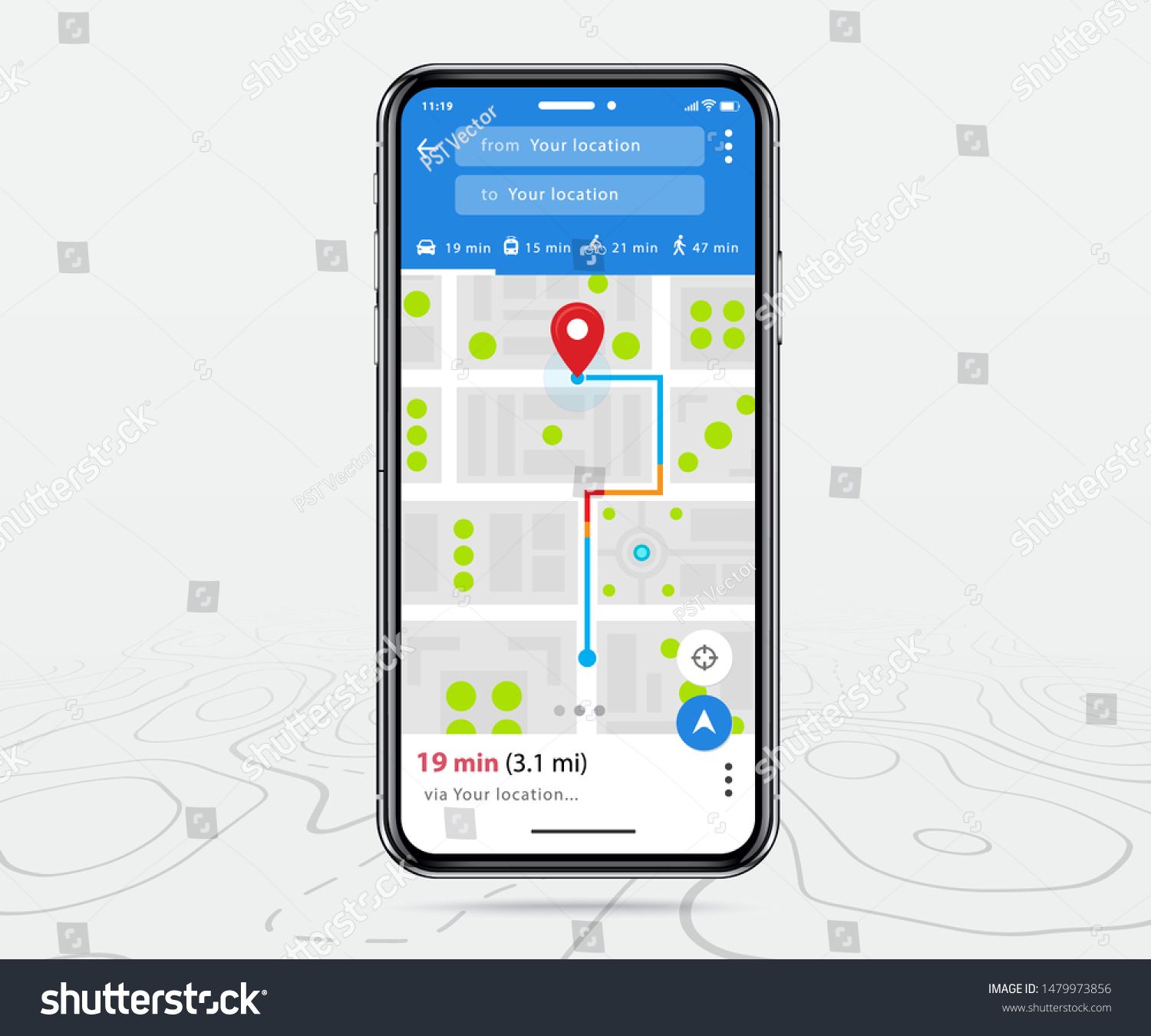
Google Maps
Our top recommended mainstream navigation app is Google Maps. Despite not being designed specifically for blind and partially sighted users, it is overall the most effective, accessible and user friendly. It is available free of charge on IOS, Android and on the web.
Google have integrated enhancements for a range of users with different disabilities. These include more detailed directions, different zoom levels, and step-free routes. You can choose your mode of travel, including walking, public transport, driving or taxi services.
Need to book a table for you and a group of friends at a restaurant in town? You can use Google Maps to look up information about a business; such as their phone number, website, opening times and reviews, as well as checking the directions in advance and viewing all the steps involved.
Top tip: use public transport the smart way with tech
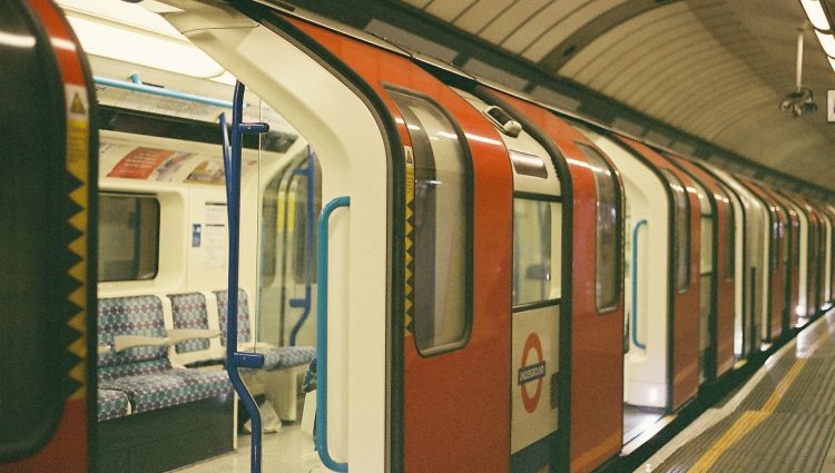
Need to incorporate public transport into your route? Check out our Using Public Transport page!
What3Words
This is a simple but ingenious app which we strongly recommend having on your phone. The app has split the entire world into 3 metre squares. Each 3-metre square has three random words assigned to it, making it much more precise than other navigation apps. The app is free on both IOS and Android.
Your college or university campus may be covered under one address, but may have multiple buildings within that address which Google Maps and similar apps won’t help you find. As you move around the campus, you could use the What3Words app to save more specific locations, such as the entrance to the science building etc.
Or, if you’re meeting friends in a large outdoor area, such as the park or beach where standard mapping apps won’t have an address, just get your friend to let you know their What3Words location, look it up in the app, then navigate to it and meet them there.
Top tip: feeling a little lost?
We’ve all been a little lost at some point. Need to help someone find you such as a friend or taxi driver? The What3Words app is also perfect for this. Just go into the app, find out what the three words are for your current location and share it with whoever you want to. They will then know exactly where you are and be able to find you more easily.
Specialist Navigation Apps
Goodmaps
Goodmaps offers two apps, both made with blind and partially sighted users in mind. They are both definitely worth a look, as they offer something very different.
Goodmaps Outdoors – free on IOS and Android
This is a turn-by-turn navigation app for navigation outdoors, slightly simplified and more customisable for blind and partially sighted users. It also calls out other points of interest as you pass them which Google Maps does not offer. You can customise how points of interest and distances are described, such as in steps, measurements or directions given on a clock face, as well as searching for specific points of interest and saving favourites to easily find later. So, if you’ve got a break between lectures and want to search for nearby coffee shops for a pick-me-up, this app makes this very easy to do.
It is available for free on both IOS and Android.
Goodmaps – free on IOS and Android
The second Goodmaps app you need to know about is just called Goodmaps. It offers something a little different and potentially exciting for blind and partially sighted users, namely, indoor navigation. Goodmaps have teamed up with certain companies to offer AI powered navigation to its users. In the UK, locations are mostly limited to the RNIB building in London and certain railway stations. These include London Bridge, London Victoria, Paddington and other major stations in Birmingham, Manchester, Edinburgh, Glasgow and many others. This will be updated from the time of writing so it’s definitely worth checking if a location you will be travelling through is listed on the app as a supported building.
If you are in a Goodmaps supported location, the app will use a combination of GPS and your phone’s camera to tell where you are and direct you to where you wish to go. You can choose your desired location from the list of locations within that building, such as platform 3, McDonalds or exit, and the app will guide you there.
Top tip: don’t let travel worries determine where you go on your education journey!
We believe that you should be choosing your college/university based on which is best for you and your chosen subject, not which might be the easiest to get to or closest to home.
The tools in this guide and our other Getting Around with Tech pages can help to make travel worries a much less important part of your decisions for where you want to go on your education journey and beyond!

Clew – free on iOS
Now for something a little different! Clew is an ingenious little app, allowing you to record your own navigation routes, indoors or outdoors. You can record a route using the camera on your phone from one location to another, for example, from reception to a particular classroom or lecture hall. Then when the time comes, the app will reverse the route for you and guide you back to your starting point.
You can record a one-time route or save the route. You can use the app in future for guidance in either direction. So all you need is to be shown a route once with the app running, then the app will be all you need in future. Other uses could be leaving your place in the classroom or cafeteria to find the bathroom, you could use the app to record your journey and guide you back to the correct table.
The app provides spoken directions as well as haptic feedback and will let you know if you stray off-course.
Sadly, at the time of writing, Clew is only available for IOS but is free.
Top tip: this one takes a little practise
Clew can be a little fiddly as it requires you to find your start and end point quite precisely, but once you’ve got the hang of it, it could be extremely useful in large school/ college/ university buildings, and as your record the routes yourself, there’s no end to the different journeys you could save for future reference. So why not give it a go, it could be a game-changer!
VoiceVista – free on iOS
VoiceVista is an app which tells you what is around you using a mix of different audio feedback. It calls out locations and points of interest as you’re passing them. The app will also call out the names of roads as you approach them.
This can be incredibly useful for familiarising yourself with a new area, such as your university town. You could use it to explore, find out what shops, bus stops, stations, parks or other points of interest there are. Or why not surprise your friends with your seemingly telepathic knowledge of what is around you!
You can create markers to save locations of interest and even set up an audio beacon on a location, so you know if you’re heading towards it or away from it by the changing audio feedback. If you use it regularly and save places of interest as markers, you’ll be able to find that favourite lunchbreak spot much quicker and easier next time!
Unfortunately, VoiceVista is currently only available on iOS. At the time of writing, the best Android alternative is the previously mentioned Goodmaps Outdoors which does call out locations and roads in a similar way.
Top tip: a powerful combo
VoiceVista offers limited turn-by-turn directions, but you can combine it with one of the other navigation apps we covered earlier to super-charge your navigation experience. It adds an extra layer of clarity to the directions you’re receiving and gives you more information about where you’re travelling and what’s around you.
For example, while running VoiceVista and Google Maps together, Google will give you directions such as turn left onto a named street in 200 metres and VoiceVista will call out the name of the road you’re approaching, so you’ll know for sure you are turning onto the correct road.
Hapticnav – free on iOS and Android
Hapticnav can direct you along a route without audio or visuals, purely using haptic vibrations. It’s a neat and simple solution which you could use in conjunction with a turn-by-turn navigation app above, or potentially on its own if you were confident enough, and really didn’t want to be relying on any audio feedback.
Your device will vibrate in one pattern if you’re on the correct path, and differently if you go wrong. There are also different vibrations representing instructions to turn. You can learn what each vibration means within the app before you use it. You can search for an address or even create a custom route of your own, which could be especially useful if you’re going offroad, such as a stroll through the local park between classes.
Take your navigation game to the next level by checking out the next page in our Getting Around with Tech guide!
Get in touch, we want to hear from you!
We really hope this page has gone some way towards demonstrating that technology could open up independence and access to locations you may previously have thought impossible, but now we’d love to hear from you.
Have you used any of the tools mentioned here? Have you used something we haven’t mentioned and really should’ve thought of? Head over to ourInstagram, BlueSky or Facebook to let us know!